Geofence
Learn what geofence means in waste hauling, why it matters for routing, and how software buyers should evaluate it before rollout.
Plain-language definition
A geofence is a virtual boundary around a location or area that software can use to trigger arrival, departure, service, or exception events.
Why buyers ask about it
Geofences can support proof, but they should not replace operational judgment. A truck near a stop is not always the same as a completed pickup.
How software changes the workflow
Software buyers should evaluate geofencing as part of a proof workflow that also includes driver status, photos, notes, and route context.
Related resources
See waste management driver app, GPS breadcrumbs, and proof-of-service billing guide.
How this affects haulers
Industry definitions are useful when they connect back to operations: service planning, route density, disposal decisions, customer communication, compliance records, and margin visibility.
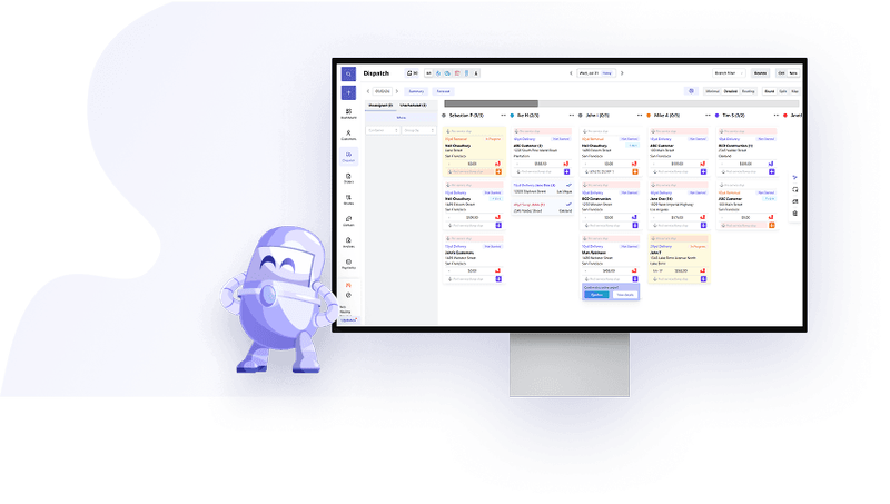
How TrashLab handles this workflow
TrashLab turns those operating details into structured records across dispatch, routing, billing, reporting, and customer communication so haulers can act on the term instead of just define it.
Related resources
Related guides, tools, and software
Use the glossary definition as a starting point, then jump into the workflow, benchmark, or calculator that makes the term practical.